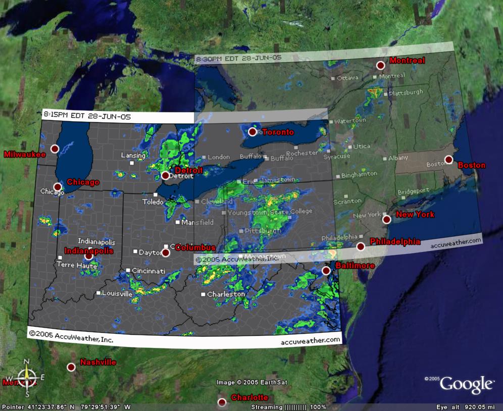
I thought I would mess around with the new Google Earth and try overlaying Radar images. Obviously with a bit of work this can be really useful. Click here for a full image of the following:

BTW, if I was running one of the current mapping software companies I'd be filling my pants and looking for a new job. With Google Earth you can now get an application for $20 that used to cost 1000 times that much. I haven't been in the GIS / mapping industry for a long time so I'm guessing at that number but it can't be that far off.


0 responses so far ↓
There are no comments yet...Kick things off by filling out the form below.
Leave a Comment